
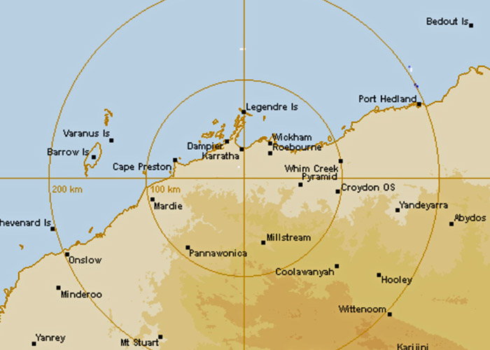
Images from the new Karratha weather radar are now live on the Bureau of Meteorology’s website and the BOM Weather app. The Karratha radar will provide better image resolution, better visibility of weather systems and less image interference than the temporary radar at Dampier.
The Karratha radar will provide higher-quality images during heavy rain and storms and improve the image resolution between rain and hail. The new radar will replace a temporary radar in Dampier, which was put in place to replace the previous Dampier radar after Cyclone Damien severely damaged it in February 2020. The new radar will have some overlapping coverage areas with the Learmonth and Port Hedland radars.
The Karratha radar upgrade is part of the BOM’s ongoing work to improve the Australian radar and observation network.
BOM WA Manager James Ashley said the new dual-polarised Doppler radar is an important tool for observing rainfall and wind conditions in real time across large areas, including approaching tropical cyclones.
“The new Karratha weather radar will benefit communities, emergency services and local industry across parts of the Pilbara region, Dampier Archipelago and surrounding areas,” he said. “The upgraded radar will eventually replace the temporary Dampier radar. The temporary Dampier radar will remain in place for up to six months, to ensure continuous radar coverage while the Bureau completes monitoring and optimisation of the new Karratha radar.”
Ashley said construction of the Karratha radar required specialist equipment to reach the new site. “A self-propelled modular transporter, essentially a giant remote-controlled truck, was needed to get the tower segments to the top of the radar site.”
The Karratha radar is one part of the BOM’s comprehensive weather observation network of more than 11,000 assets including satellites, upper atmosphere monitoring, automatic weather stations, ocean buoys and flood warning networks.
Radars collect data to feed into the BOM’s models and forecasts to deliver better rainfall and flood warnings, estimates of accumulated rainfall and stored soil moisture, short-term forecasts of rainfall and severe weather, hail location and strength of wind changes.
Together these enable industry to make better decisions when preparing for severe weather, help farming businesses make timely decisions, such as movement of stock, chemical and fertiliser application, sowing and harvesting, and increase the accuracy of forecasts every year.


